|
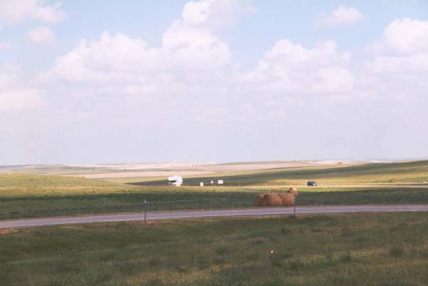
This single photograph, pretty well sums up several hours of traveling
west through southern Minnesota. Once outside of the area around the river,
it is like traveling through a single vast farmer's field. |
|
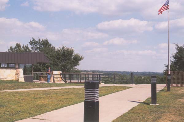
The rest stop at the Lakefield exit in western Minnesota. This structure
sits atop one of the few summits in the area, and is somewhat isolated
from the freeway |
|
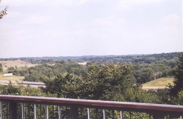
A look over the rail, gives a commanding view of the fields and
roads below. The Interstate runs directly below, partially hidden by the
foliage. |
|
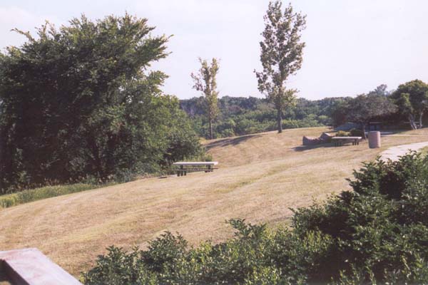
As with all rest stops, there are landscaped areas to roam, run
pets, stretch, and settle down for a while. |
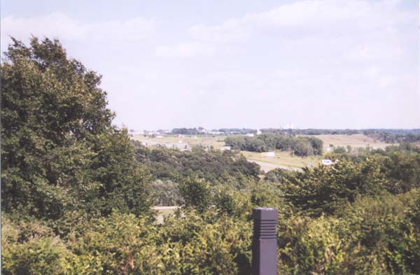
|
A view down the hill, towards the East. Rolling hills and a busy
freeway. |
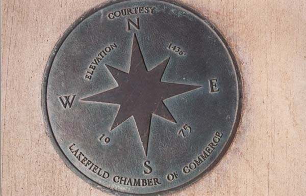
|
Set into the floor of the observation deck, this marker gives the
elevation, and tells us which way is which. |
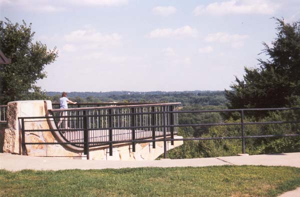
|
The rest stop itself is cantilevered out over the the bluffs, for
a great view of the surrounding lands, and the activity of the Interstate. |
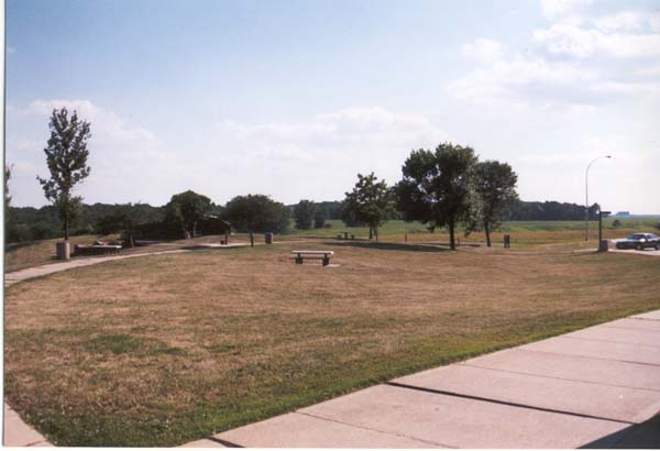
|
A nice place to get out, stretch and relax a while, after a long
drive. |
|
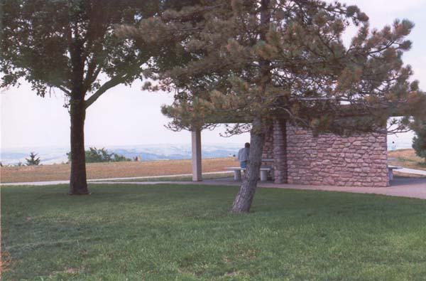
A small windbreak, constructed of natural stone, contains a picnic
bench, and makes a great vantage point from which to view the traffic, and
the blue hills off in the distance. |
|
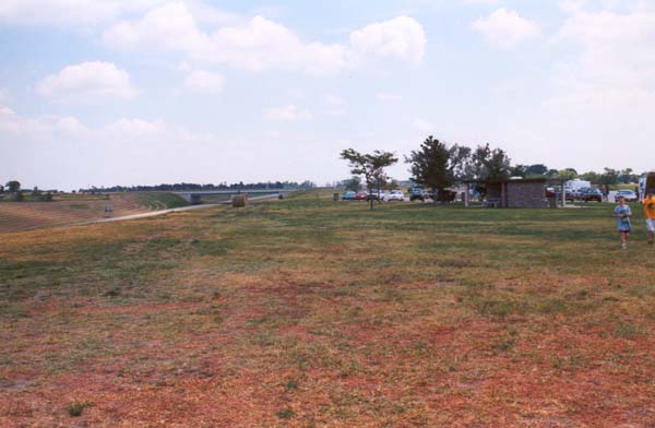
A look up the freeway |
|
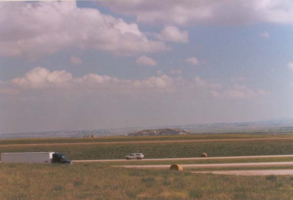
The land turns slightly hilly, for the last thirty miles or so,
before encountering the South Dakota border. It then turns flat again almost
until the Missouri River. |
|
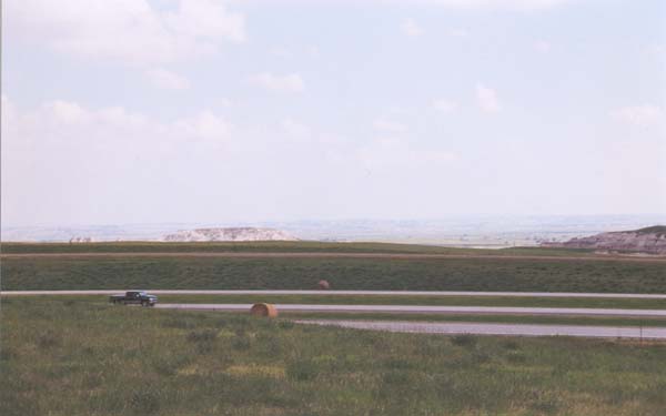
Looking South across some eroded hills. The far off hills are probably
in Iowa, which is only about five or ten miles off at this point. |
|
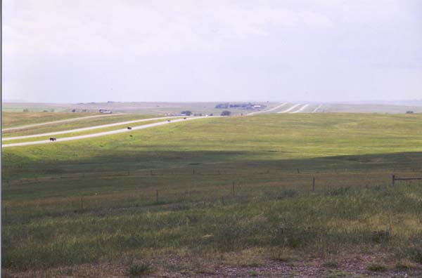
The ribbon of road leads west, and the call is clearly heard. Just
out of sight, perhaps thirty or forty miles down this road, lies South Dakota. |


