|
Just past Albuquerque, we are in what most people would call, the
true desert. |
|
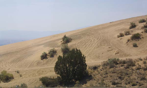
Not quite a dune, but as close as you will see to one in North America. |
|
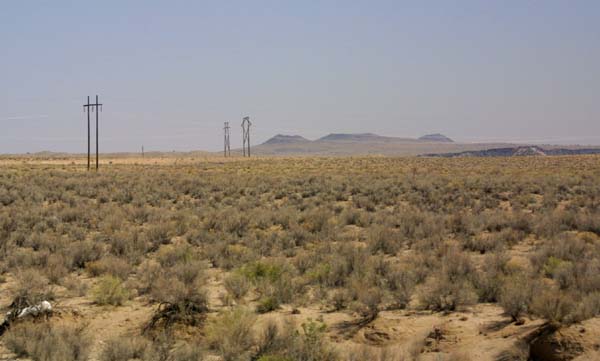
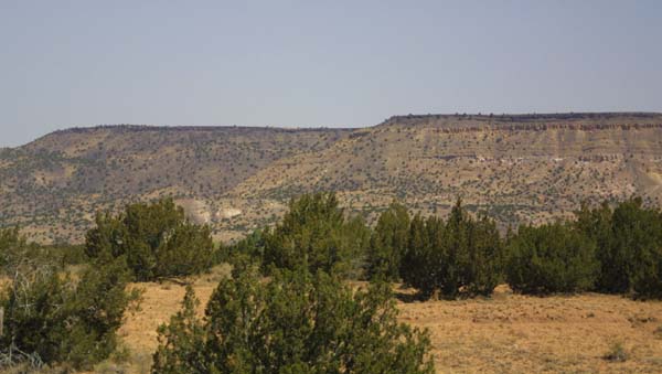
A look out into this new environment. geologists call this the basin
and range area. it consists of scattered mountain ranges seperated by desert
basins. This type of terrain is a result of fault blocking. |
|
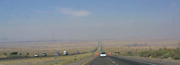
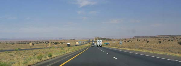
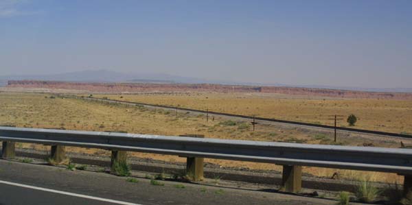
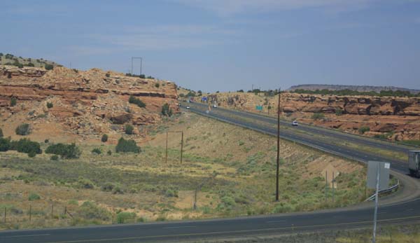
The road, in this arid terrain, vanishes off into the haze. |
|
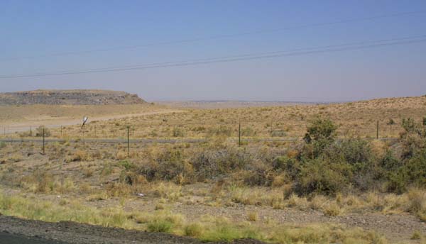
The high plains, steppe, or scrub of New Mexico. Whatever you call
it, this is a dry and desolate area. |
|
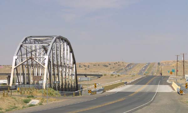
The old bridge along the Pig River (Rio Puerco). The old iron
truss bridge has been preserved as a monument, and is closed to traffic.
It is the original Route 66 bridge, built in the thirties. |
|
|
More scrub land. There are some mountains in the distant background.
It will take hours to reach them by car. |
|
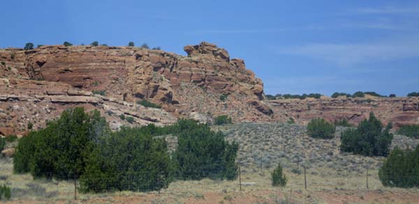
Some exposed rock outcroppings. This may be part of a scarp fault. |
|
|
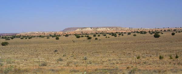
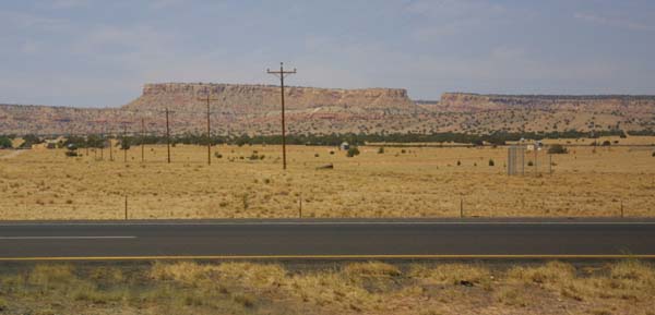
We are now within the basin and range area. This geography is marked
by scattered mountain ranges separated by desert plains. |
|
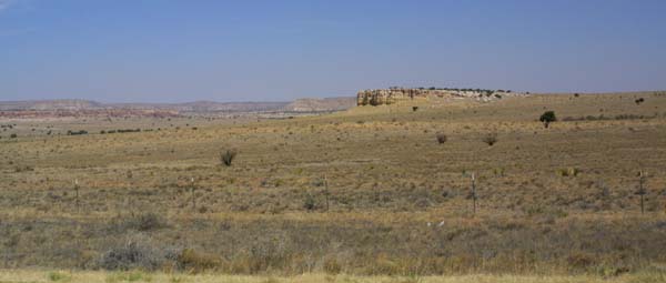
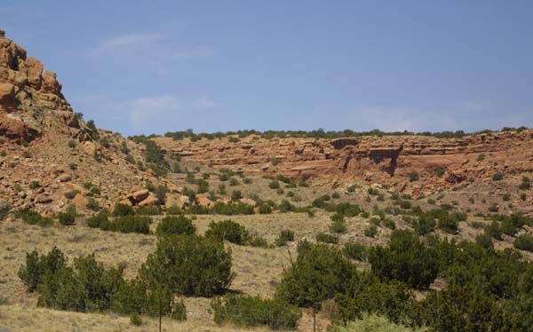
Within the desert basins are mesas, highlands and cliffs. |
|
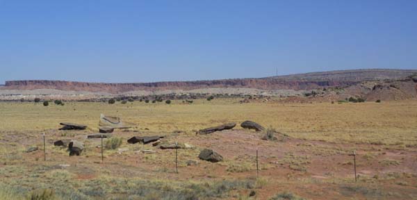
Just another rock outcrop, or are these the remains of an old homestead,
or a more recent Route 66 business? I will never know. |

|
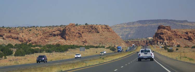
The road heads off to a vanishing point, between cliffs, and ranges. |
|
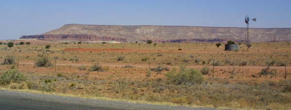
A windmill sits in front of a mesa, indicating the presence of a
well. Some of the water brought up, has been underground for thousands of
years. This worries some environmentalists, making them wonder how long
man can live in these parts. |
|
Eroded highlands are everywhere. Though rain is infrequent here,
it's effects are easily seen. |
|
More railroad tracks and telegraph wires, seeming to go off into
nowhere. |
|
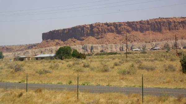
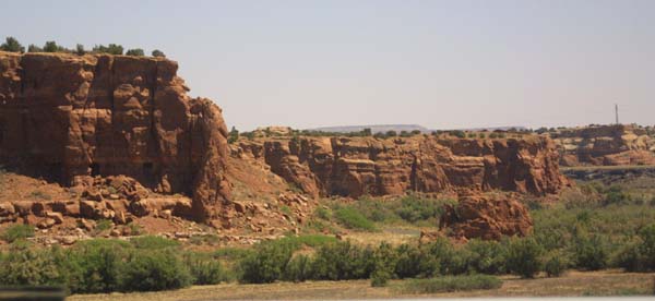
Mesas are eroded or split to become buttes. |
|
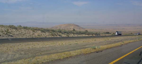
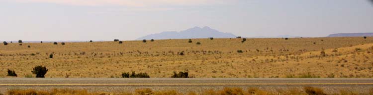
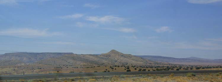
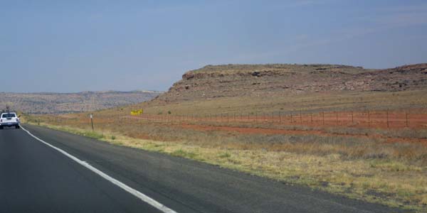
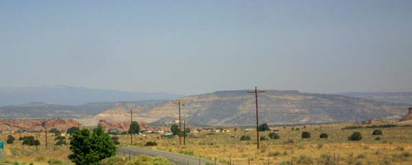
Scattered highlands mark the area, as distant mountains appear in
the background. This is typical basin and range country. |
|
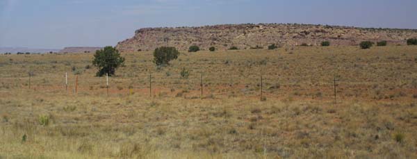
A talus skirts the edge of this mesa. |
|
|
|
Heading back up into the mountains, a small range this time. |
|
Cliffs wear away to rubble, in a process that has been going on for
many thousands of years. |
|
Up we go. Fortunately for my car, this grade does not go on for very
long. Overheating, vapor lock, and stalling were always a possibility in
the ever present heat, particularly on grades. |
|
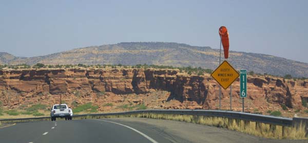
We are warned of gusty winds as we pass through a notch in the cliffs. |
|
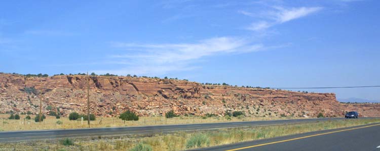
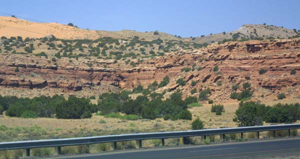
A look at the banded cliffs as we pass through them on the road.
These are all sedimentary rocks, laid down when this was an ancient seabed,
and cut down millennia latter, after the land was uplifted. |
|
crumbling sandstone gives evidence of occasional water weathering. |
|
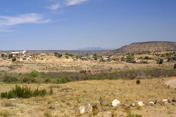
A city or village on one of the many Indian reservations through
which we passed. |
|
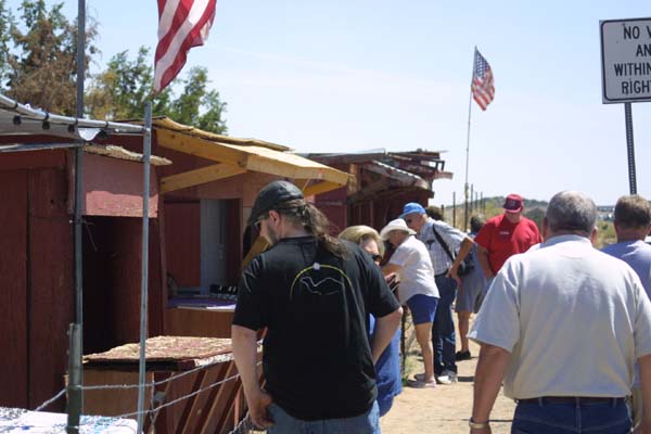
Doing a bit of shopping for Indian Crafts and products. This is a
chance to get the genuine article, and is one of the few ways for those living
on the reservation to bring in some cash from outside. There are a number
of such stands along the highway, as there were along the old stretch of
route 66. |
|
Scrub covered mesas with juniper bushes and sage. |