|
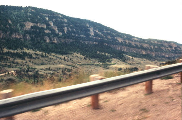
These hills accompany us for miles, as we drive along a road cut
low into the side of a valley wall. We are beginning our ascent out of the
plains, and up into the Big Horn Mountains. |
|
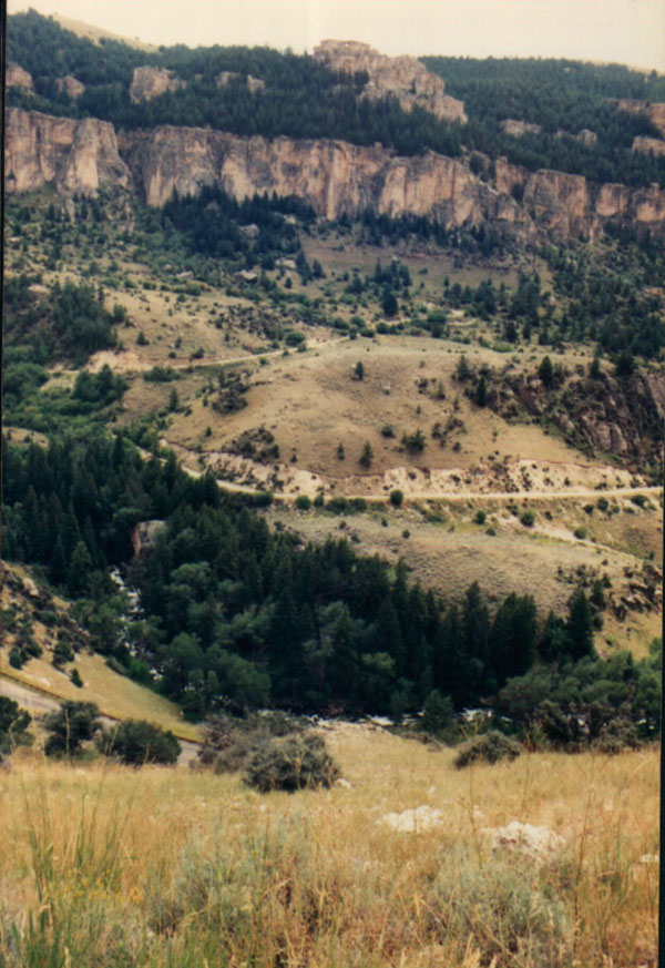
A look down, and across the narrow valley (almost a canyon). Numerous
roads are cut into the hills below. The Powder River can barely be discerned
here, as a twisting ribbon of blue, white, or gray, nearly hidden by the
trees at the bottom. |
|
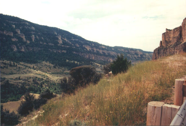
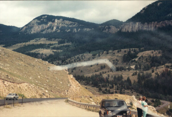
Pulled off to the side, and overlooking the valley, once again.
This 30 mile trip took us two hours to complete. |
|
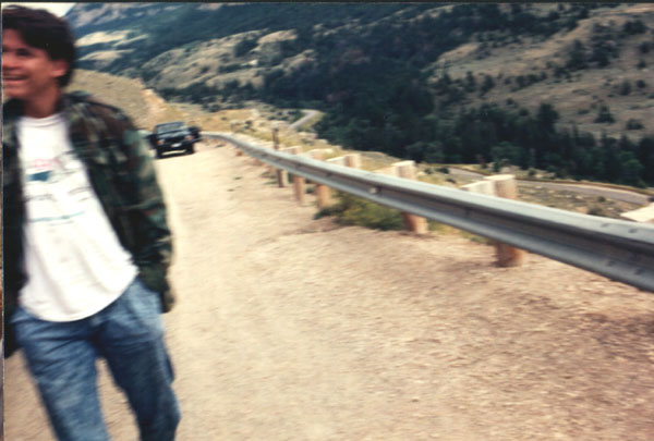
Chris, looking rather cheerful, as we relax in a pullout, snap some
pictures, and take in the vista of this high mountain valley. |
|
A view down the grade, up which we had just come. |
|
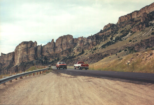
A view up the grade, in the direction we are about to head, and
opposite that of the previous photo. |
|
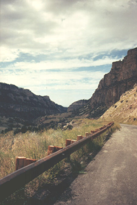
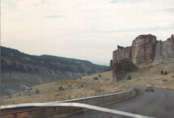
A look along the side of this twisty mountain road. |
|
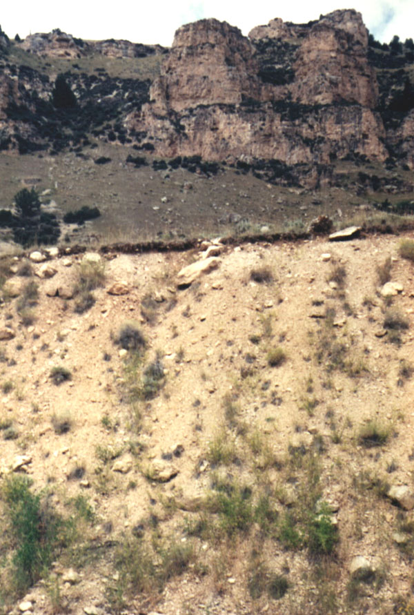
A look up the side of the hill. Even after years, the roadcut, in
the foreground, has not healed, and stands out from the natural side of
the mountain. |
|
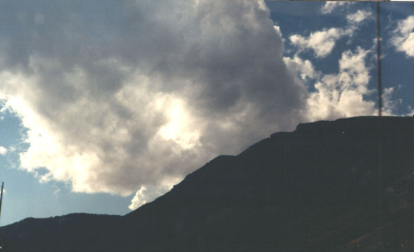
The top of the mountain touches the clouds. It was strange to see,
of all things, power lines, up along the ridge. |
|
Back on the road again, with guides, maps, and books in disarray
on the dash. |
|
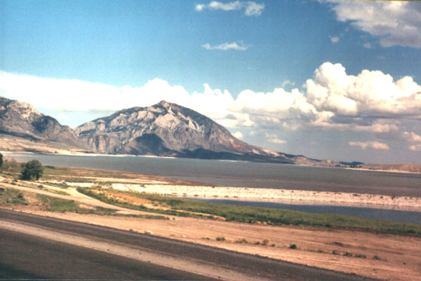
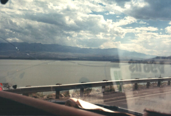
Having passed through the basin area, we head up into another mountain
range, and negotiate another mountain pass. Just beyond Cody Wyoming, as
we climb into the Absaroka mountain range, we come upon a dam, a man
made lake, and a state park. All three are named after Buffalo Bill. |
|
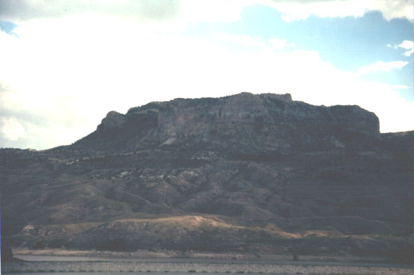
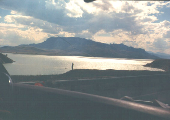
A shot of the opposite side of one of the narrower portions of the
Buffalo Bill Reservoir. This was a mountain top, at one time, towering over
a mountain valley, before the area was flooded by construction of the dam. |
|
A shot farther back, from inside of the van. The reservoir creates
a considerable lake, several miles long. |
|
A lone fisherman stands out against the contrast of the sun on the
water. |