Some pictures of the hills, walkways, and trails overlooking the Missouri River.
Left
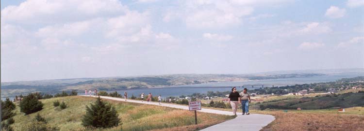
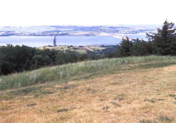
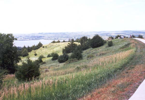
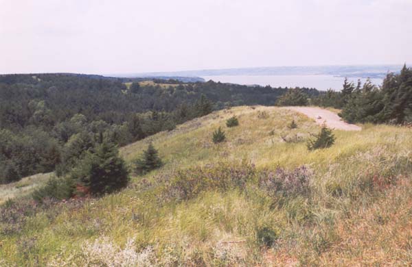
A look North, over hills, and down along the river
|
|
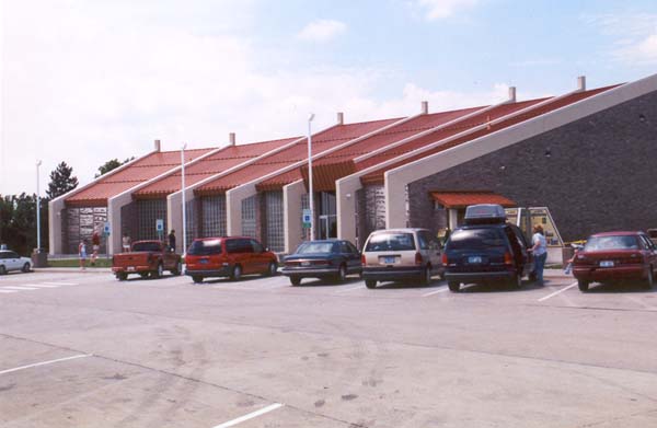
Pulling into the parking lot at the tourist center on the east bank of the Missouri. |
|
|
A complex of sorts is created by the rest stop, tourist center, museum, and State Police station. |
|
|
|
|
|
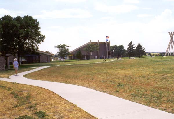
Above Some pictures of the hills, walkways, and trails overlooking the Missouri River. Left |
|
|
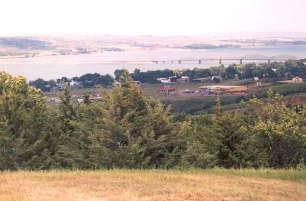
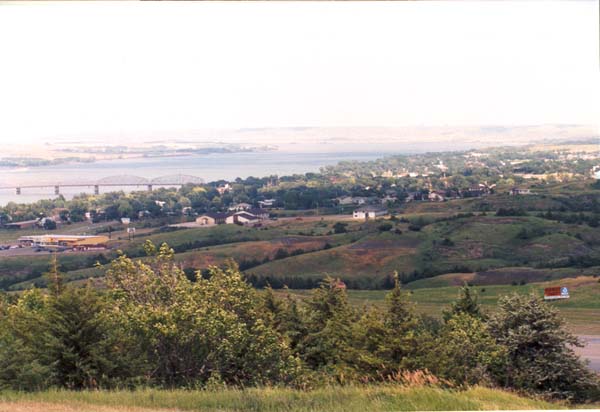
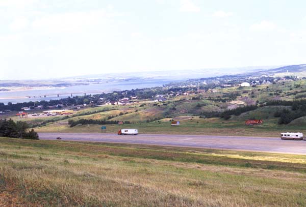
A view of the fields, and of the little town, just below. |
|
|
A rather hazy view of the lands across the water. The heat and high humidity of the day make feature off in the distance, a bit vague. |
|
|
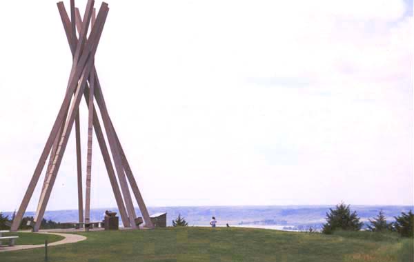
One of South Dakota's concrete teepees stands on the bluff overlooking the river. |
|
|
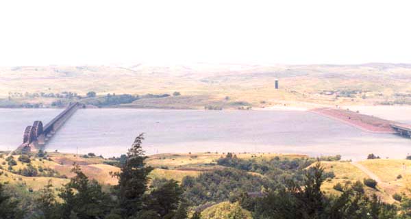
A shot directly across the river, showing two of the three bridges which cross it here. |
|
|
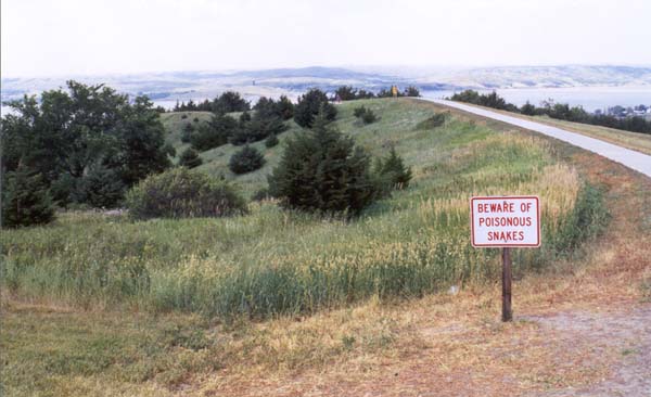
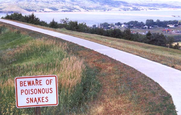
This sign, as much as the river or anything else, tells me I am entering the West. |
|
|
All right already, I get the message. |
|
|
The freeway which will take us to the Badlands, Yellowstone, and places west, runs by below us. |
|
|
Up the path, and down the bluff to the river's edge. |
|
|
More paths head south, and go all the way down to the edge of the water. |
|
|
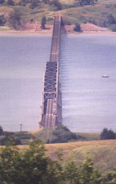
A long distance shot of the colorful, traditional rail bridge across the Missouri. |
| Back to Eastern South Dakota | Forward to Wall and the Badlands |