|
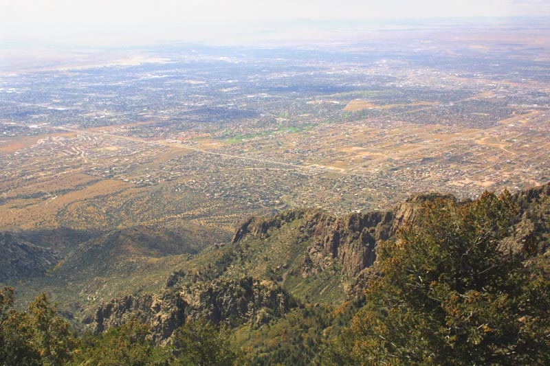
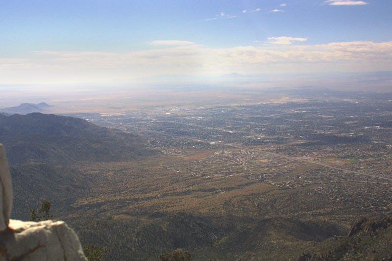
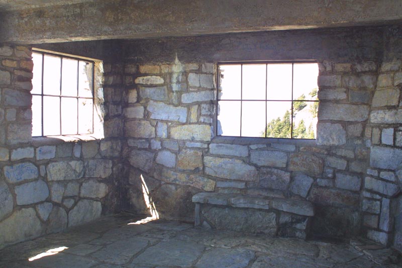
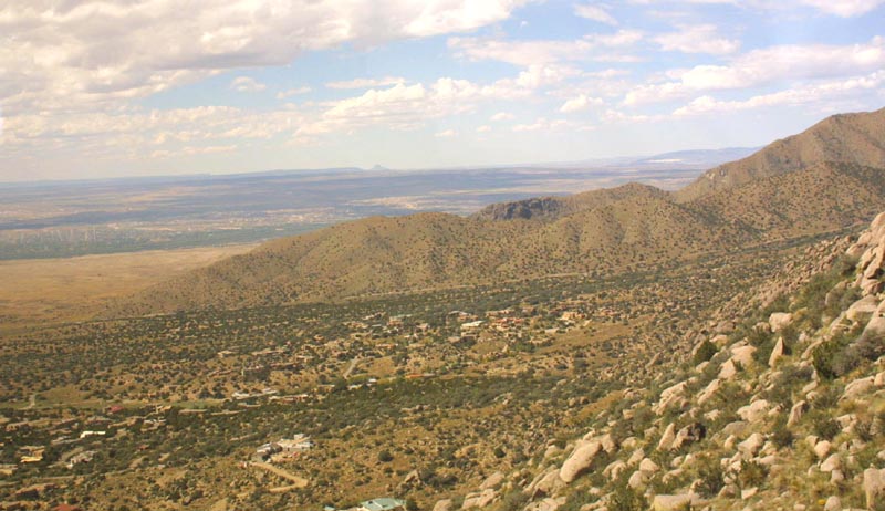
A look over the side, at the receding mountain, and the
city of Albuquerque. |
|
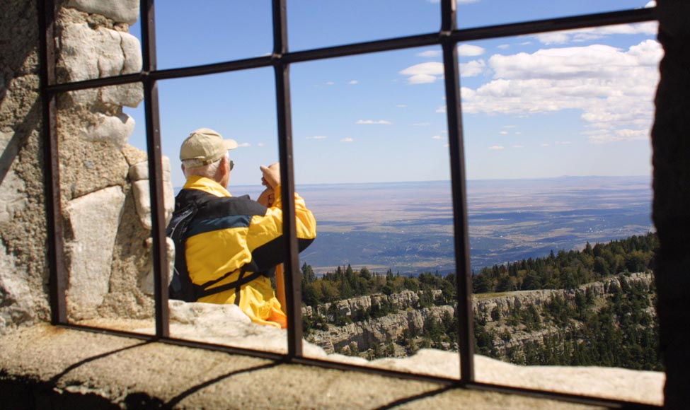
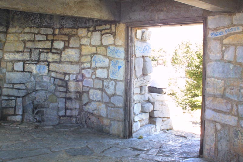
Left: Looking out the window of the little stone cabin. Below: A fellow hiker, stands outside and admires the view. |
|
|
|
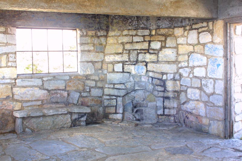
The fireplace, now sealed, and stone beams of the cabin.
|
|
A look towards the doorway. This cabin is no longer used
as a refuge, since park headquarters, and the tram station are just a few
miles down the path. |
|
Left: The inside of the cabin, showing the joiner work. Below: A look back towards the tram station. |
|
|
|
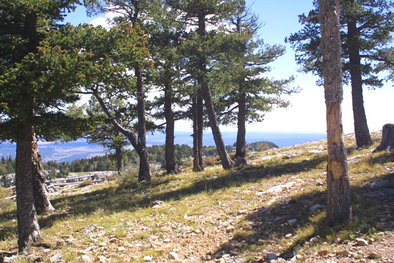
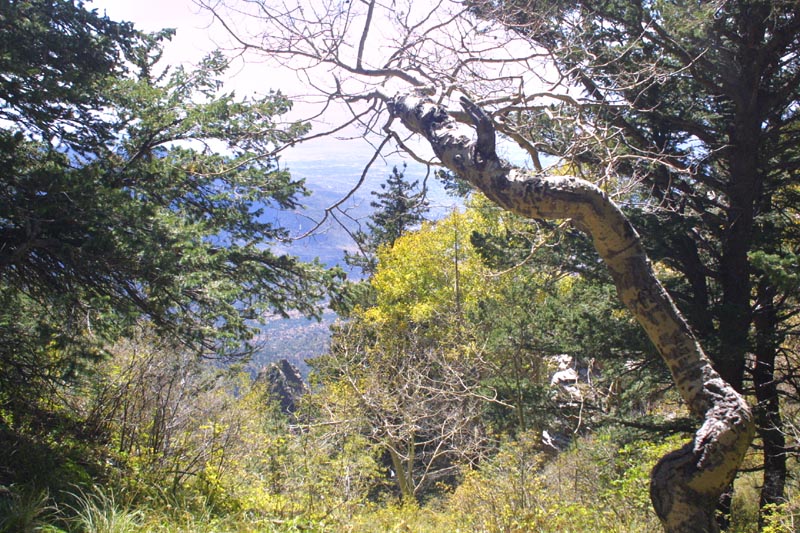
Heading back down, towards the tram. The hike took me
over an hour; but it was uphill, at over two miles above sea level, on rough
terrain. Some of the adjoining ridges are visible, through the sparse trees
on this part of the peak. |
|
Rounding the corner, and looking down between trees flanking
a gully. |
|
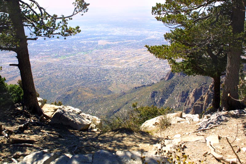
The trees part, and the city is visible. This part of
the trail flanks the edge of the ridge. |
|
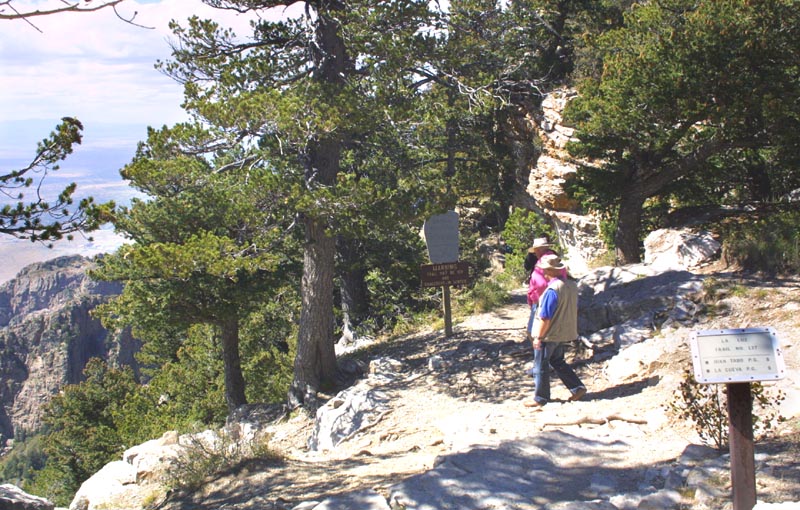
Some fellow hikers mosey over to enjoy the view in the
photograph above. |
|
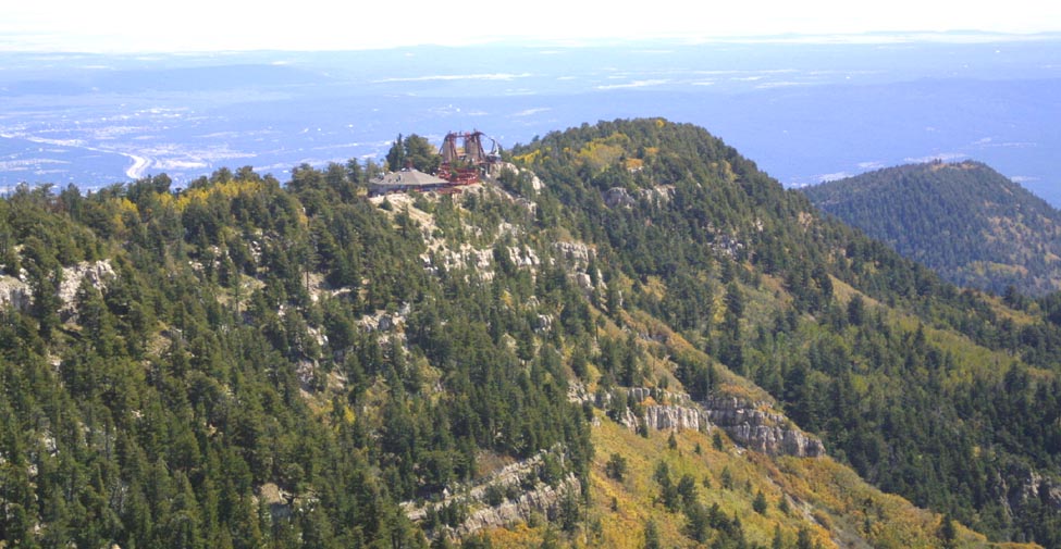
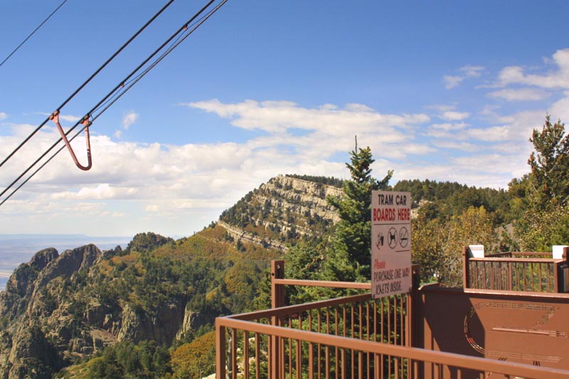
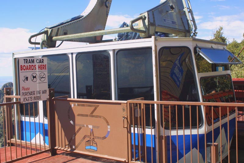
Back at the tram loading gate, and looking back the way
I had come. The stone cabin can just barely be seen as a bump on the tip
of the next ridge. |
|
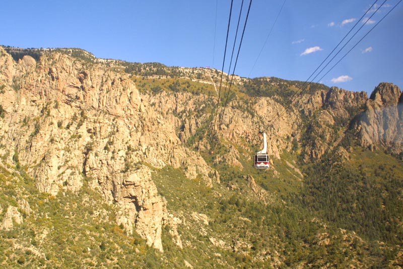
The tram arrives for boarding, and to let of another
load of visitors. |
|
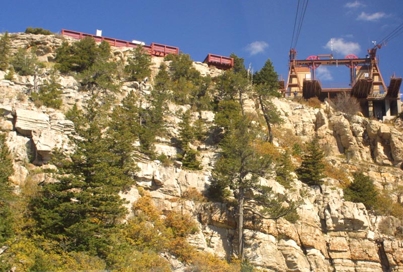
A view back up at the top, as the tram starts downward.
It must have been quite a job to build all of this. |
|
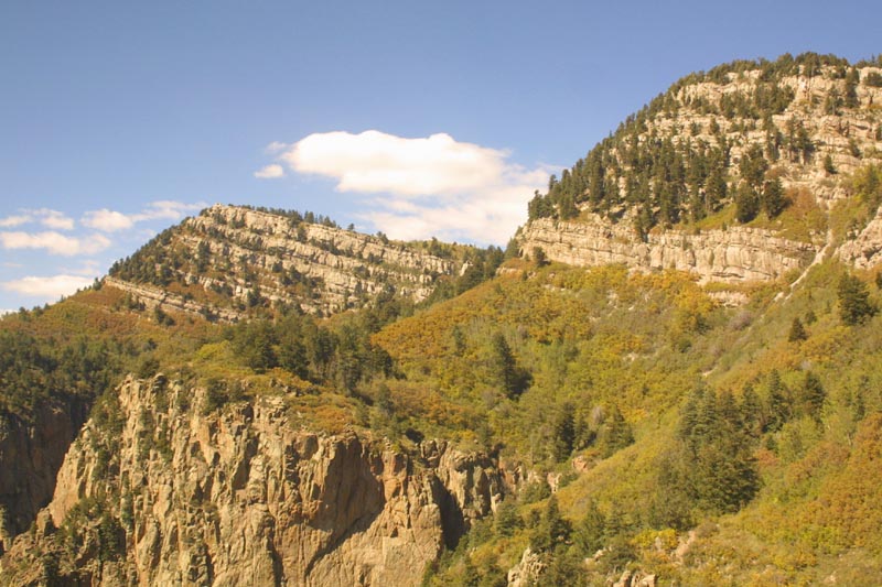
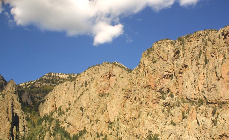
The adjacent ridges. The far ridge is where the stone
cabin sits. |
|
The bushes growing on the sides of the mountain, are
actually full sized trees. These photographs do not really properly show
the scale of the place. |
|
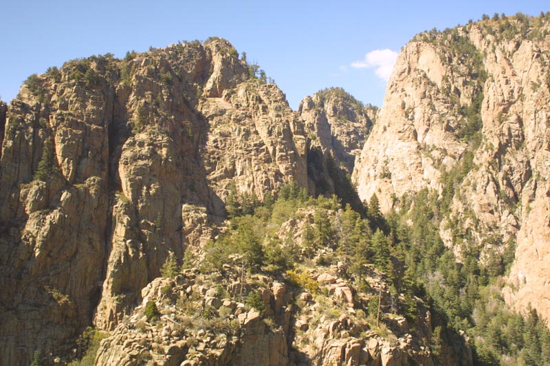
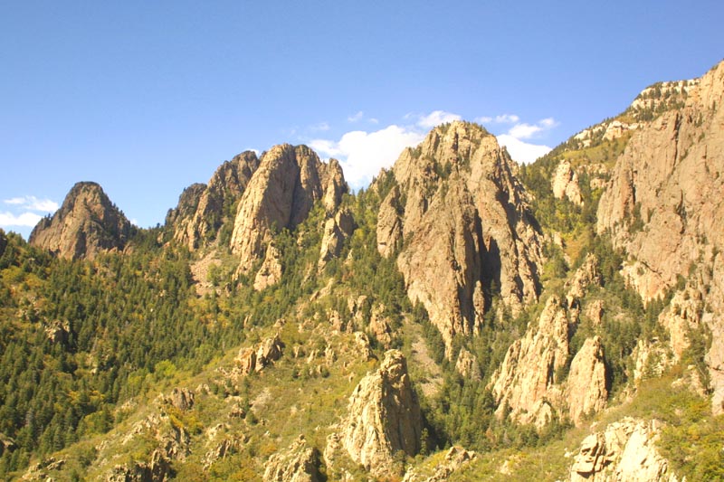
Some of the broken hills of the Sandias. |
|
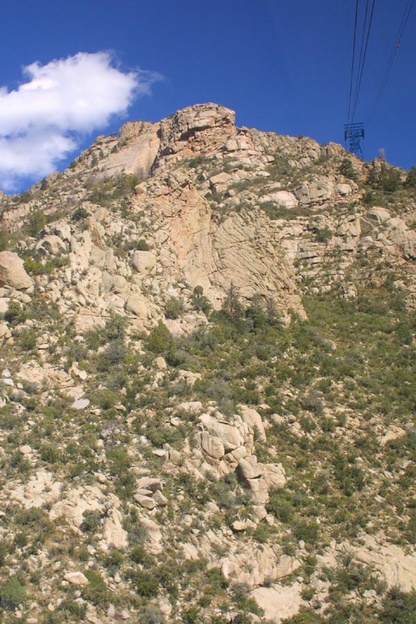
The top of the ridge line, shows pretty clearly that
the Sandias are a continuous rib, rather than a series of peaks. |
|
We are about to pass the other tram, on it's way up.
|

|
Just pass the tower, the city is visible, as we round
a cliff. |
|
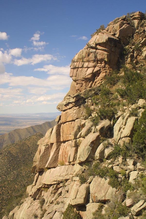
This cliff reminds me of a giant stone face, staring
down at the city. |
|
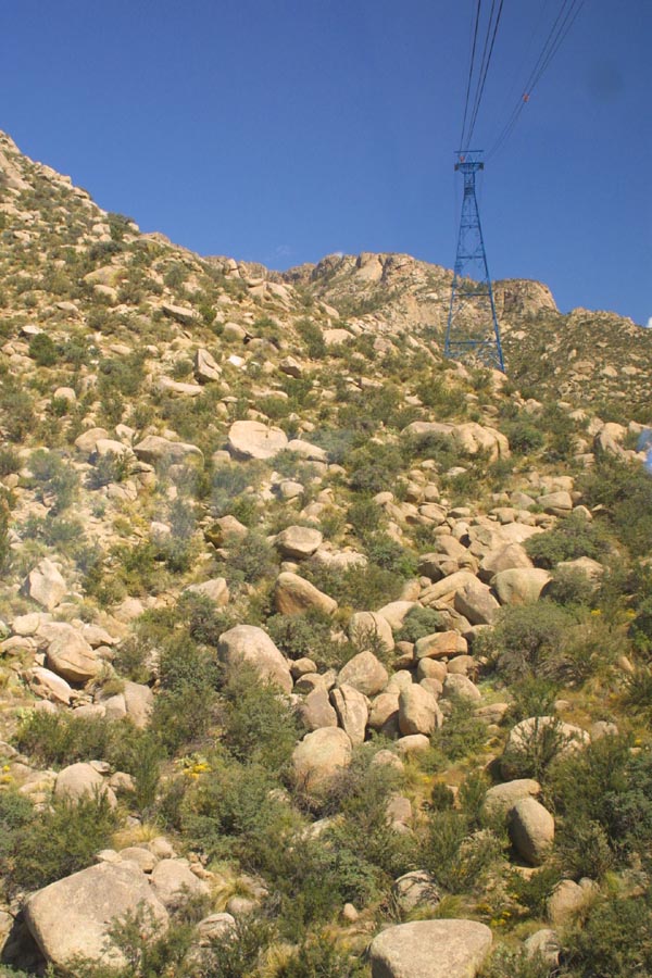
A look back at the far tower, as we head down. The tower
is in place to guide the tram up, and over a fold in the mountain side. |
|
A look down at an arm of suburbs, pressed
between a pair of mountain ridges. |
|
Past the near tower, and looking back,
as we almost reach the bottom. |
|
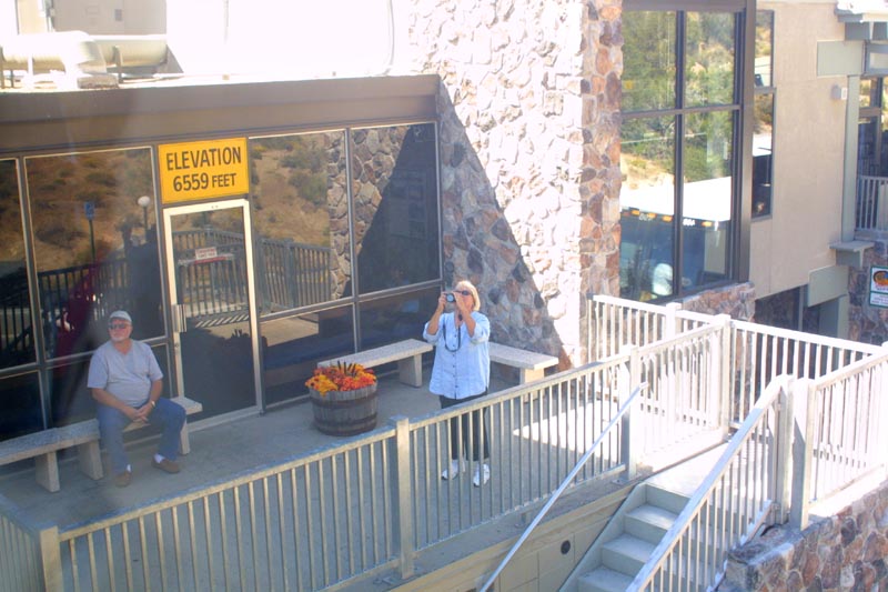
We are photographed, as we come in
for a landing. I suspect that this couple will be waiting for the next tram
up. |
|
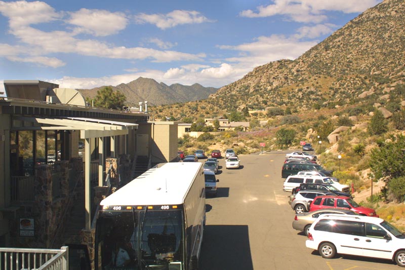
One last view of the station, and parking
area, with the Sandia Mountains in the background, before we enter the landing
area. |
| Back
to The Mountain |
Forward
to Grand Canyon |