
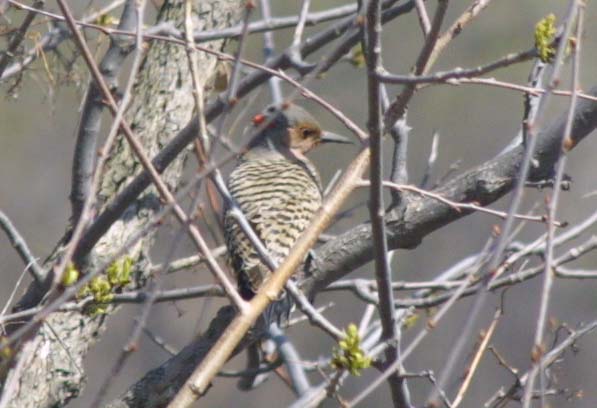
The woodpecker turns his(?) back on me and goes about his business.
Below:
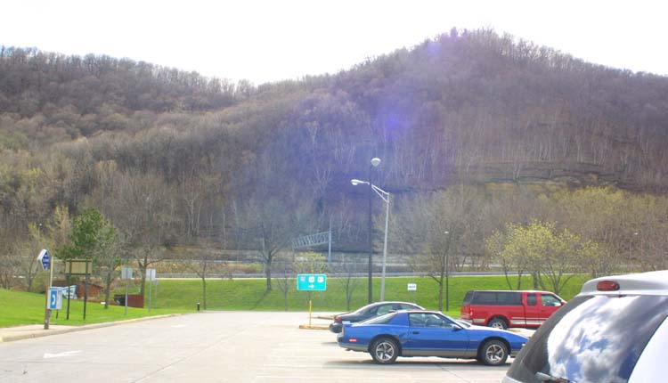
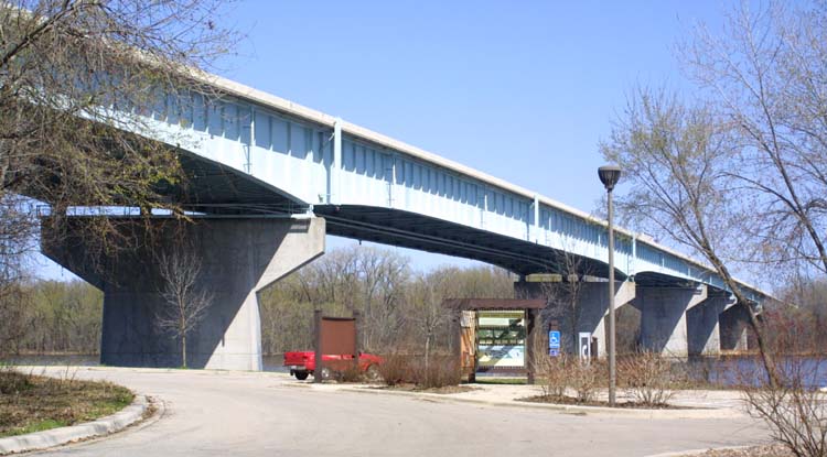
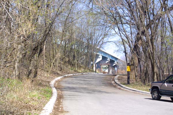
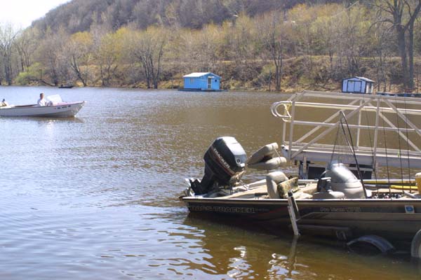
Underneath the Interstate, are parking areas, boat launching ramps, walkways, and a chance to get up close and personal with the river.
| Back to
River Home |
Back to
Travel Home |
Back to
Home |
|
|
|
|
|
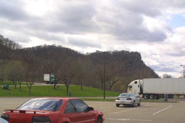
I love this place, and have driven up here
a number of times just to stop, look, listen and smell. It is a good
three hours from Milwaukee to this spot, perhaps a bit longer. These
photos were taken in early spring, so the grass is green, but the trees
are not yet sheathed in their usual dress of leaves. |
|
|
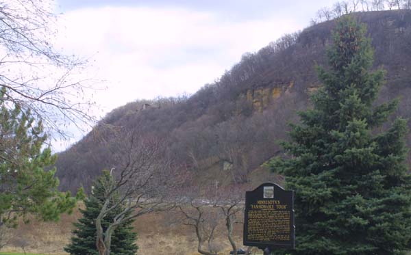
A view south along a line of bluffs fronting
the river. I have numerous photos of this spot from various years, but can
not resist always taking just one more. The sign towards the bottom of
the photograph tells of the old Grand Tour, when affluent adventurers would
take luxury barges down the river. This was at a time when the river was
still wild, and many parts were yet unsettled. |
|
|
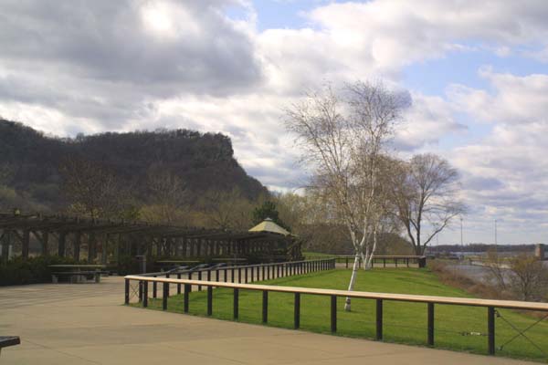
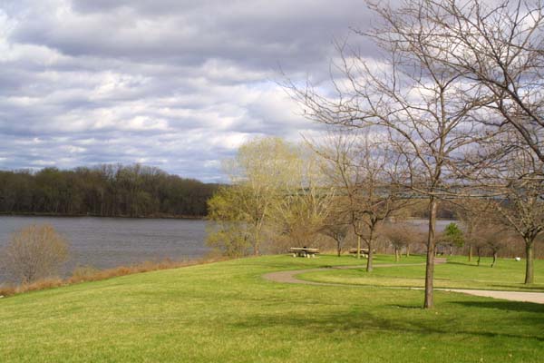
An early spring view of the arcade, and
viewing area of the park. This early in the year, there are not really many
travelers, but they will come. |
|
|
A look down the walkways and picnic areas
adjacent to the park. |
|
|
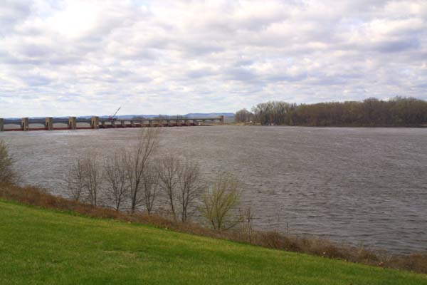
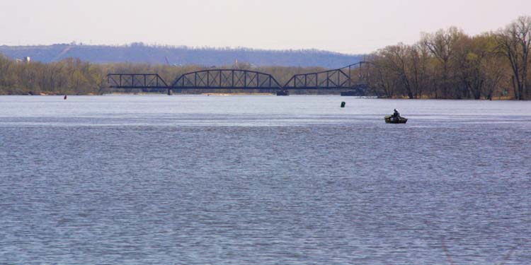
The locks, far off in the distance, and
not very busy at the moment. In the summer months, barges are sometimes
backed up waiting to get through. |
|
|
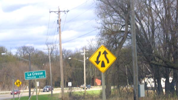
Getting off of the bridge, and entering
LaCrosse |
|
|
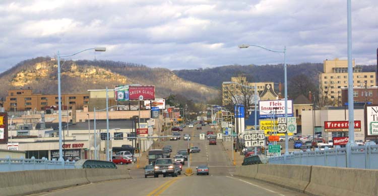
Coming over the bridge for local traffic.
This is the bridge for highway 61, rather than the Interstate. It takes
us right into the heart of the Downtown area of LaCrosse. Interstate 90,
which crosses the river nearby, does not really go through town, only skipping
by the outskirts. |
|
|
|
|
|
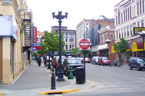
A view of Downtown LaCrosse from the bridge,
and another view from one of the main streets. This is a very pleasant
place to live, and seems to be just about the right size, |
|
|
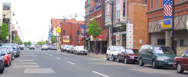
One of the side street of downtown LaCrosse. |
|
|
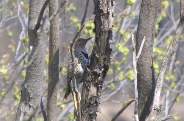
A woodpecker gets ready for summer, by
building his house. Within a few months, I suspect a female and some chicks
might be in evidence here. |
|
|
Left: The woodpecker turns his(?) back on me and goes about his business. Below: Underneath the Interstate, are parking areas, boat launching ramps, walkways, and a chance to get up close and personal with the river. |
|
|
|
|
|
|
|
|
A couple of views from down by the riverside.
Here you can reach down and touch the water. This was the river of Mark
Twain, countless Indian tribes, trappers, and explorers. It was also, for
years, the boundary line of the nation, and for many more years, the line
of the frontier. |
|
|
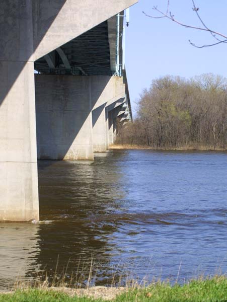
This is the base of the bridge across which
Interstate 90 links the midwest and the west. The photograph was taken looking
east towards Wisconsin, while standing on the Minnesota side. |
|
|
A view of part of the natural bank of the
river. even so far north, the river is thickly overgrown. The islets and
other land masses visible in the photo are constantly shifting. The whole
river is alive, and always changing. |
|
|
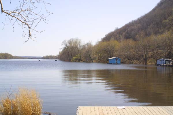
A few old style houseboats, or fishing
shacks can be seen at the side of the river. These are little shacks built
on planks and floated over oil drums. Though not suited for anything like
open water, they are cheap to build and are fine for the river. |
|
|
This little shack has a deck, as big as
the house. Note the oil drums visible underneath for floatation. |
|
|
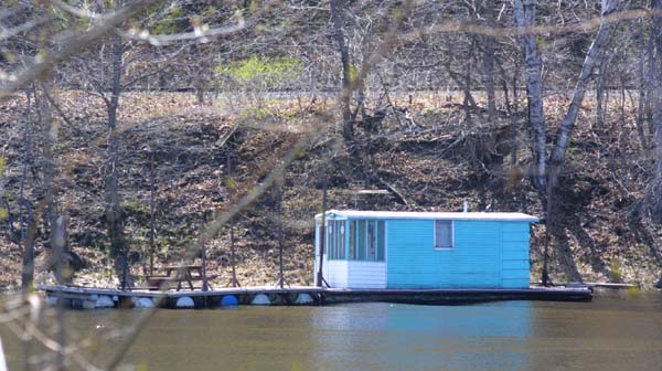
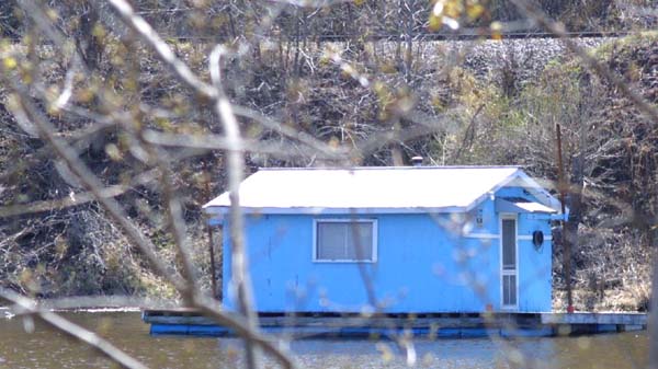
A slightly more modest structure, with
no large deck, also sits, tied up among the trees at the bank. Notice the
mail box by the front door. These sometimes serve as summer homes, though
the mosquitoes must be terrible to behold. |
|
|
A look up towards the Interstate bridge
from the base of the hill, just above the boat launch ramps. |
|
|
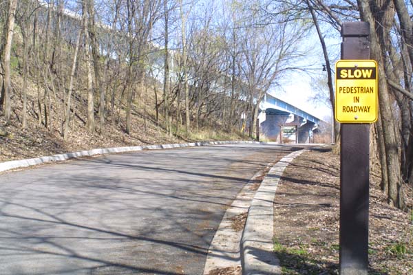
I resent this sign. I may not be the fastest
person in the world, but I do not consider myself to be particularly slow,
even in middle age. |
|
|
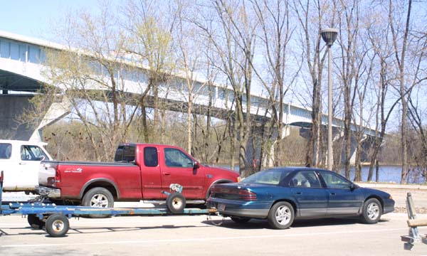
Cars lined up waiting to launch or retrieve
some of the myriad of little boats out on the river |
|
|
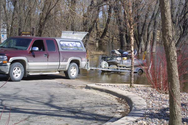
I sportsman is nearly ready to launch his
boat. River access here is easy, and the river is well used by commercial
and recreational traffic. |
|
|
One boat is being launched, while another
awaits it's turn to be picked up. This recreational activity mirrors, at
a smaller scale, the commercial activity which usually goes on at the locks.
|
|
|
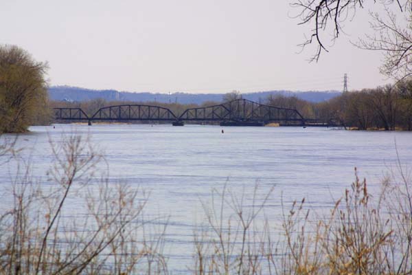
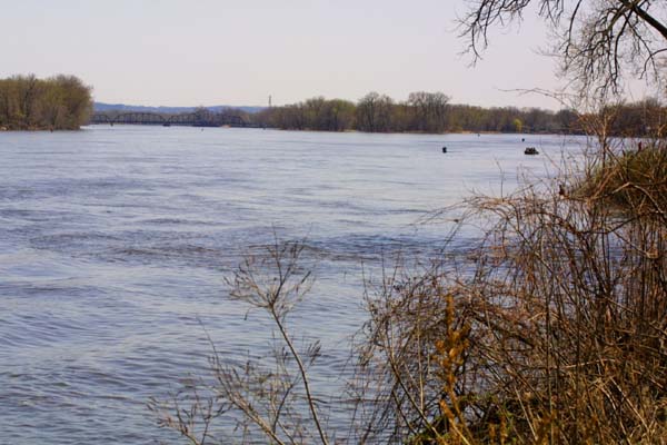
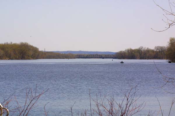
A look down the river shows several small
boats out for a day of recreation. We are only seeing about half the width
of the river here. The main channel is to the left, outside the view of
this photo. |
|
|
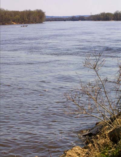
This vertical view give a bit more of an
idea of the span of the river. Many hundreds of miles down this stream
of water, past numerous turns, and countless little towns, is the city
of New Orleans, and the Gulf of Mexico. |
|
|
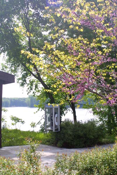
A nice shady spot to watch the river, and
to make a call. |
| Forward
to more of the River Road |